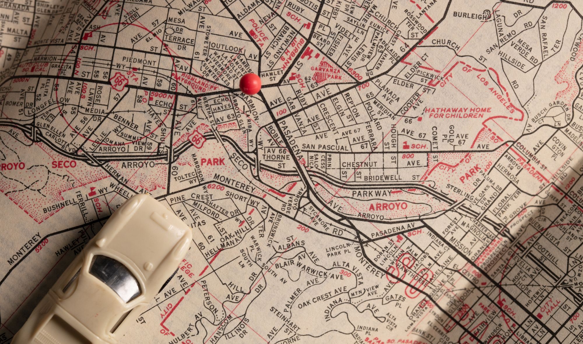
If you work in local government, you have heard a lot of talk lately about geographic information systems (GIS). As a buzzword in the local government space, you may still wonder how a GIS system can help your city and what it should accomplish for your agency. Even more importantly, you wonder how GIS software can make your work in community development, code enforcement, and building administration easier. Here at MyGov, having all the information streamlined in one easy view is essential, and that’s why we have developed many integration options for your agency.
Our GIS Integrations allow you to connect MyGov software to your GIS data source to transfer data into the MyGov system seamlessly.
Here are a few ways to incorporate your GIS data into the MyGov system.
1. With our integrations, you can directly link ArcGIS to MyGov. In the MyGov system, you can automatically pull ArcGIS layers in set intervals. Based on the specified intervals, called “Sync Layer” settings, MyGov will automatically remove the data, which means the new data will replace the old data, but all MyGov layer settings will be retained, such as styling. MyGov can only parse “Feature” layers, so you must publish the data into a feature layer using the ArcGIS REST API. This requires ArcGIS version 10 or newer.
2. MyGov can pull GIS Layers directly from the data source server, if a REST Service URL can be provided. This is a straightforward and automated method to transfer your GIS data. The ability of MyGov to pull GIS layers directly from a data source server using a REST Service URL offers several advantages, including efficiency, real-time access, simplicity, data integrity, centralized management, and scalability. It streamlines the process of accessing and utilizing GIS data, making it a helpful feature for various applications and users.
3. MyGov can pull data from a File Transfer Point (FTP). The system can perform routine updates on this type of integration, but the accuracy of the data in MyGov will depend on the frequency the FTP file is updated. MyGov will use the frequency to schedule the update script properly.
4. Not currently using one of the above methods? That’s okay. With the MyGov system, your agency can easily manually upload your GIS layers. Connecting your GIS data to the MyGov system will benefit you in your daily work. Integrating GIS will:
- Automate Data Transfer
- Connect Key Systems
- Create Efficiency
- Centralize Parcel Data
- Make Data Retrieval Easy
These integrations are essential for your agency because it gives the ability to link data with critical functions and departments within your agency. With integrated GIS data, your agency can view code cases spatially to gain an understanding of trends, problem areas, and the most effective way to handle your issues efficiently.
Additionally, integrated GIS data allows you to track better location data of contractors and employees who work in the field. The endless possibilities for innovation by pairing your GIS data with the MyGov system will give you new ways to create more efficient methods.
If you want to learn more about how your city can leverage your GIS software with the expanded MyGov platform, schedule a free consultation with our Sales Team. We want to learn more about the projects you’re tackling within your agency and how MyGov can help you gain success.


